
Drought Monitouring and Forecating System - ﺁﺯﻣﺎﯾشگاه پژوهشی پایش و پیش بینی هیدرولوژیکی و هواشناسی
System Overview
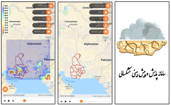
The drought monitoring and forecasting system was developed as part of the project entitled “Studies for the Establishment of a Drought Monitoring and Forecasting Platform for Sistan and Baluchestan Province.” The project aims to design and implement a locally developed system for the continuous monitoring of climatic conditions and drought forecasting.
By integrating observational data, satellite products, global databases, and numerical model outputs, the system generates and presents information on precipitation, temperature, soil moisture, relative humidity, vegetation cover, and drought indices. These data are produced and analysed at different spatial and temporal scales using long-term datasets covering approximately the past 30 years.
In addition to monitoring historical and current conditions, the system provides short- and medium-term forecasts of precipitation and temperature. It also forecasts meteorological, agricultural, and integrated drought conditions at the regional scale.
System Objectives
- Establishing an integrated regional hydroclimatic database;
- Continuously monitoring drought conditions using recognized indices;
- Forecasting precipitation and temperature over different time horizons;
- Regional downscaling and refinement of outputs from global weather and climate models;
- Automatically generating monitoring and forecasting maps and products;
- Providing the information required for water resources management and operation;
- Expanding online and mobile access to system information.
1. Observational and Satellite Database
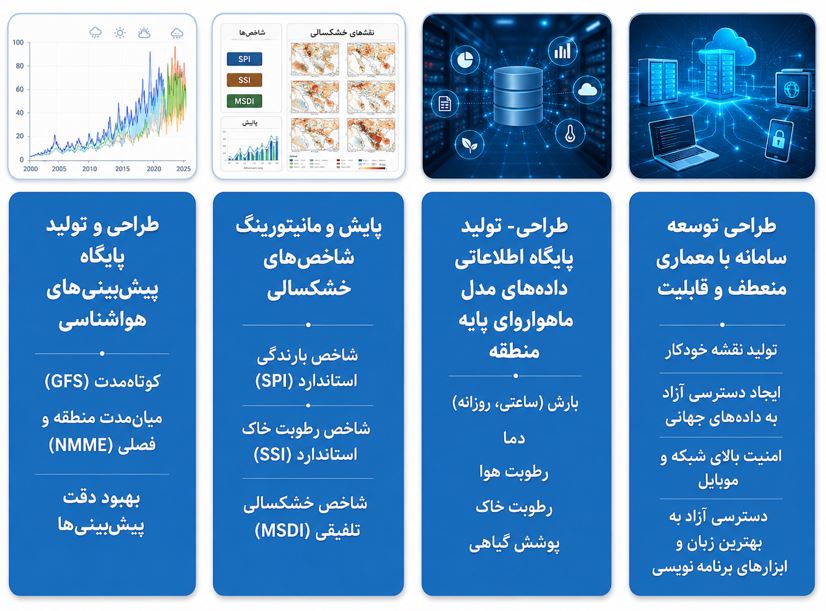
Design and development of an integrated database of numerical and satellite-derived data, including:
-
Hourly and daily precipitation;
-
Air temperature;
-
Relative humidity;
-
Soil moisture;
2. Drought Index Monitoring and Assessment
Drought conditions are monitored using the following indices:
-
Standardized Precipitation Index (SPI);
-
Standardized Soil Moisture Index (SSI);
-
Multivariate Standardized Drought Index (MSDI).
3. Weather and Climate Forecasting
The system generates and provides the following forecasts:
-
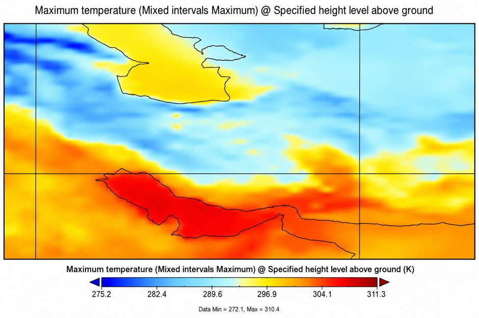
Short-term precipitation and temperature forecasts for the next 2, 4, and 6 days;
-
Medium-term precipitation and temperature forecasts for up to four months ahead;
-
Use of the Global Forecast System (GFS) for short-term forecasting;
-
Use of North American Multi-Model Ensemble (NMME) models for medium-term and seasonal forecasting;
4. System Software Platform
The system has been developed using a flexible architecture and provides the following capabilities:
-
Automatic generation of monitoring and forecasting maps;
-
Acquisition and processing of data from recognized global databases;
-
Continuous data management and updating;
-
Online access to data and analytical results;
-
Delivery of information through web-based and mobile platforms;
-
Scalability and support for the integration of new datasets and models.
Key Achievements
-
Providing access to data produced by internationally recognized climate centres;
-
Enabling the integrated use of observational data, global numerical model outputs, and reanalysis datasets;
-
Developing a daily precipitation database with a spatial resolution of 0.25°;
-
Applying metaheuristic algorithms and artificial intelligence methods to improve precipitation estimation;
-
Providing short- and medium-term climate services for the water sector;
-
Regional downscaling and refinement of GFS and NMME model outputs;
-
Monitoring historical conditions and forecasting future meteorological, agricultural, and integrated drought conditions;
-
Designing and developing a mobile application linked to the system;
-
Publishing the project’s scientific findings in specialized ISI-indexed journals.